GIS and Remote Sensing in Mining and Exploration Course
INTRODUCTION
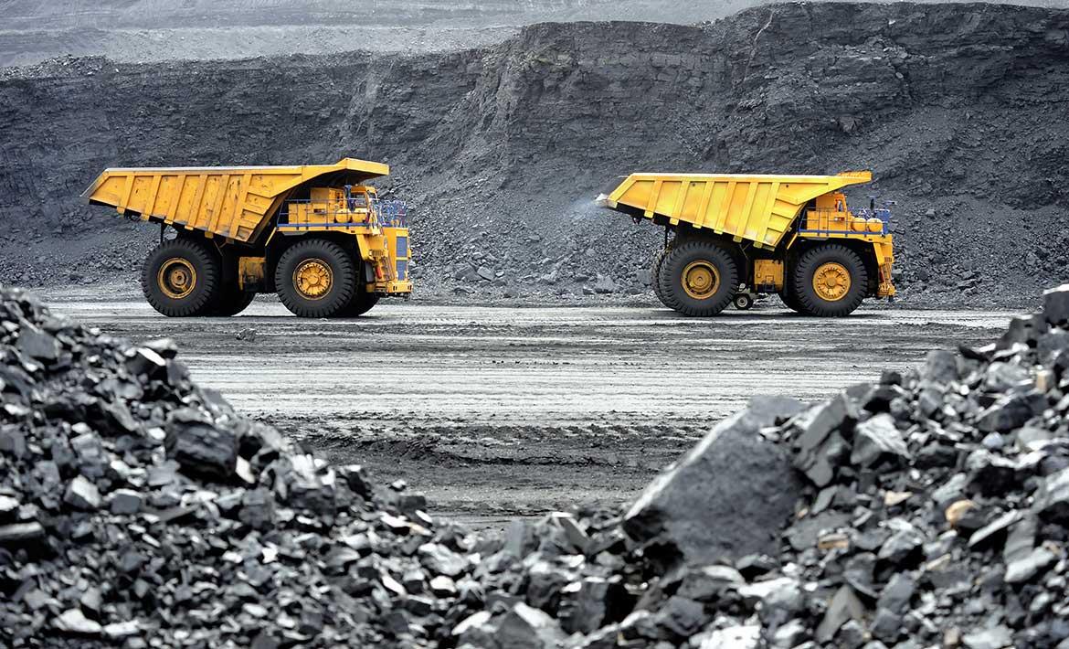
This course mainly reviews different uses of GIS and Remote sensing in the mining and geology industry
DURATION
5
COURSE OBJECTIVES
• To introduce participants to different components of GIS and the role GIS plays in mining and geology.
• To expose participants to data capture, input, manipulation and display by GIS
• To explain to the participants role of GIS as a tool for spatial planning
• To demonstrate to participants use of Remote sensing in mineral exploration.
• To develop sound basis of understanding through case studies
How to participate
Tailor Make A Course
Register Individual
Register Group
Become One of Our Partners.
View GIS and Earth Observation Institute Course Catalogue
For further inquiries, please contact us on Tel: +254 715 077 817, +254 (020) 211 3814, +254 731240802, +254 735331020.