Event: GIS and remote sensing in conservancy & wildlife management Course
Venue : Indepth Research Services, Nairobi, Kenya.
Event Date : 30th April – 04th May 2018
NITA CERTIFIED
INTRODUCTION
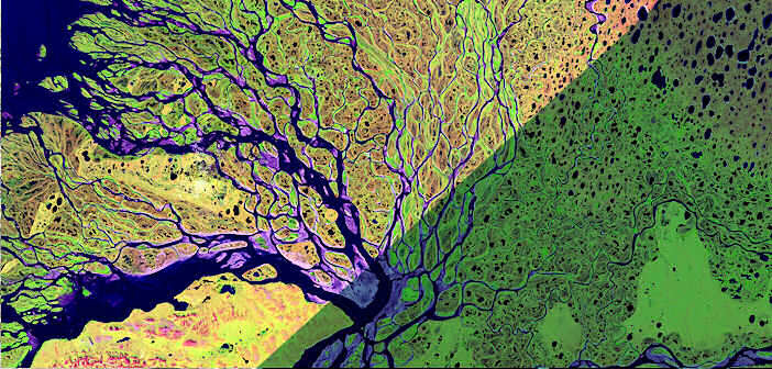
Geographic Information Systems (GIS) involve collecting/capturing, storing, processing, manipulating, analyzing, managing, retrieving and displaying geo-referenced data. Remote sensing is the acquisition of information about an object or phenomenon without making physical contact with the object. Wildlife management requires reliable and consistent information on the abundance, distribution of species and their habitats as well as threats. Therefore, the application of remote sensing (RS) and geographic information system (GIS) in the wildlife management and conservation aids in data collection and analysis of wildlife abundance, their distribution as well as providing data suitable for conservation planning and management.
REQUIREMENTS
The training is designed for participants who are reasonably proficient in English.
DURATION
5 Days
COURSE OBJECTIVES
To introduce participants to the principles of GIS and Remote Sensing
To introduce participants to concepts of wildlife management and conservation
To expose participants to data capture, input, manipulation and display by GIS
To introduce participants to GPS/GNSS systems
To explain to the participants GIS database requirement and development for wildlife management and conservation
To introduce participants to the application GIS and Remote Sensing techniques in wildlife management and conservation
To develop sound basis of understanding applications of GIS and RS in Wildlife management and conservation through case studies
TOPICS TO BE COVERED
This course reviews the application of remote sensing and GIS techniques in wildlife management and conservation under the following themes:
- Introduction and definitions of key concepts
- GIS data management
- Mapping
- Analysis and Monitoring using GIS and remote sensing
- Public participation and mobile data gathering
Visit our website for more details
How to Participate
- Tailor Make a Course
- Register as an Individual
- Register as a Group
- Become One of Our Partners.
- Purchase Software
- Frequently Asked Questions (FAQ’s)
View related courses
GIS and Remote Sensing in Disaster Risk Management Course
GIS and remote sensing in multi hazard early warning systems Course
GIS and Remote Sensing in Land Cover, Land Change Analysis Course
GIS for Monitoring and Evaluation Course
GIS Analysis for Health Sector Programmes Course
GIS Analysis for WASH Programmes Course
The most popular courses
Integrated Soil Health and Fertility Management Course
Diseases Surveillance and Reporting Course
Data Management and Analysis for M&E in Development Programmes Course
M & E, Data Management & Analysis for Health Sector Programmes Course
Advanced Microsoft Excel Course
GIS Analysis for Health Sector Programmes Course
Participatory Rural development Action
PAYMENT
Payment should be transferred to IRES account through bank on or before C.O.B.23 rd April 2018
Send proof of payment to [email protected]
View GIS and Earth Observation Institute Course Catalogue
For further inquiries, please contact us on Tel: +254 715 077 817, +254 731240802.
Email [email protected]
ACCOMMODATION
Accommodation is arranged upon request. For reservations contact the Training Officer.
Email: [email protected].
Mob: +254 715 077 817