Dear All,
Indepth Research Services would like to invite you to take part in our upcoming training in Short Training Courses GIS, Remote Sensing and CAD
Browse through our course categories below, and click on the course name to view the course details and how to register
Click here to Register
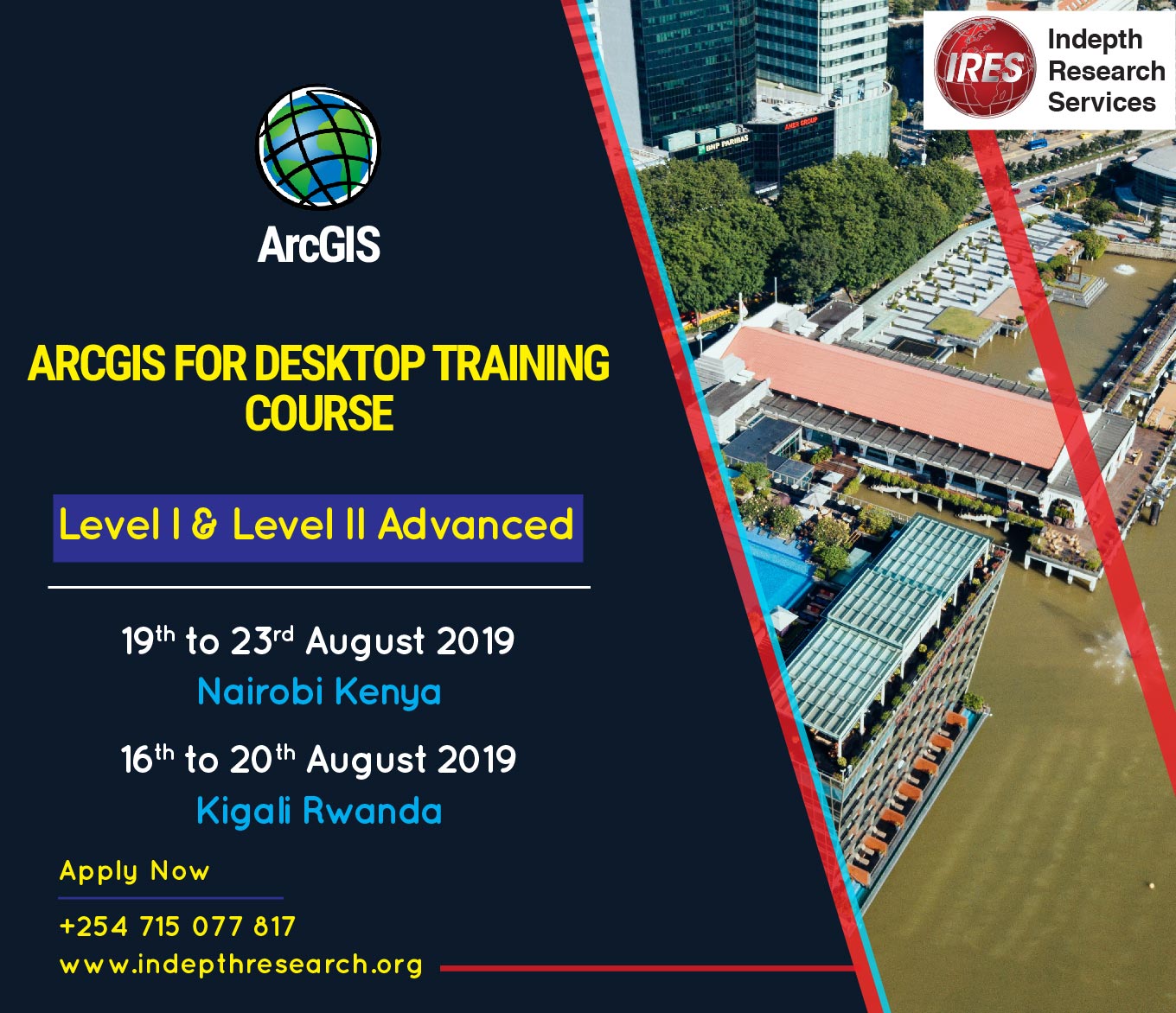
GIS, Remote Sensing and CAD Short Courses
Course Organizer
Indepth Research Services is a capacity building institution, founded in 2003 with the objective of building capacity for development professionals to enhance effective delivery of development services in Africa.
The organization runs training programmes in East Africa, training over 10000 development
workers in the last few years.
DURATION AND COURSE LOAD: 2days to 10 days - 8 to 10 hours per week
PARTICIPANTS: Professionals
REGIONS TARGETED: Global
ORGANISERS: Indepth Research Services
GENERAL COURSE CONTACT: outreach@indepthresearch.org
Prior to the course start date, selected participants will receive, via email, an official invitation letter along with instructions on how to pay for the course. Course log on instructions will be emailed to you on the day the course is scheduled to begin.
Training Package offers Value for the Money. Training will be moderated by professional with hands on skills and great wealth of Experience.
Kindly confirm your participation with:
Online Training Coordinator
Indepth Research Services