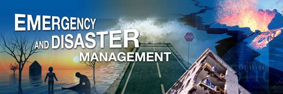
Use of GIS and Remote Sensing in Disaster Risk Management Course
INTRODUCTION
Disaster risk information is spatial in nature and Geographic Information Systems (GIS) play an important role in disaster risk management. Rapid population growth and urbanization combined with extreme climatic events are causing a rapid increase in vulnerability of communities exposed to hazardous events. Natural disasters inflict severe damage on almost the entire spectrum of social and natural habitats, ranging from housing and shelter, water, food, health, sanitation, and waste management to information and communication networks, supply of power and energy, and transportation infrastructure.
There is a great need to utilize disaster risk information in planning for effective coping mechanisms of disaster risk reduction. For this, there is a significant need to create awareness among the disaster management professionals regarding the importance of GIS and Remote Sensing.
This course is job oriented and aims to impact practical skills on how to use GIS and RS ,to overcome the major challenges faced in ,pre-disasters during disaster and post-disaster management such as during early warning, hazard, vulnerability and risk assessment, damage assessment, as well as in the design of risk reduction measures.
SOFTWARE: QGIS, SAGA GIS
DURATION
5 Days
TARGETED AUDIENCE
The course is targeted at professionals who require knowledge and skills on the use of GIS and RS in their organization in the field of disaster management. Participants are welcome from a broad range of organizations including physical planning, institutions, professionals and private GIS and RS related firms.
LEARNING OBJECTIVES
Upon completion of the course, the participants will be able to:
• Describe and utilize spatial data, GIS and remote sensing in disaster risk assessment and management
• Utilize existing sources of historical disaster information and elements at risk data
• Apply GIS/remote sensing in hazard, vulnerability and risk assessment
• Employ risk information in emergency preparedness planning
• Visualize hazard and risk information
• Apply GIS/remote sensing to post-disaster damage assessment
How to participate
Tailor Made Training
Register Individual
Register Group
View GIS and Earth Observation Institute Course Catalogue
For further inquiries, please contact us on Tel: +254 715 077 817, +254 (020) 211 3814, +254 731240802, +254 735331020.
Email [email protected]