Event: GIS Analysis for Health Sector Programmes
Venue: Indepth Research Services, Nairobi, Kenya.
Event Date: 13th – 17th November 2017
NITA CERTIFIED
VIEW OUR RECENT CLIENTS
INTRODUCTION
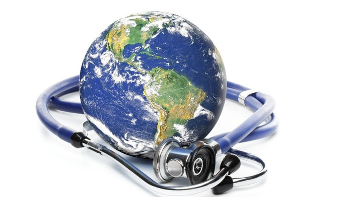
The physical and social environment that surround us plays an important part in our health & well being. The geography concept of ‘place’ thus cannot be ignored in public health. Whether investigating the level of environmental pollution, access to recreation or services, or the patterns or spread of disease, Geographic Information Systems (GIS) provide the standard platform for exploring spatial attributes and relationships between our environment and health.
This course offers an introduction to GIS and how it is used in public health and epidemiological research. It will introduce students to the basics including: working with and integrating spatial and non-spatial data; geographic scale and spatial precision; decoding; visualization; thematic mapping; and understanding spatial relationships. Specific skills and tools will be introduced in relation to assessing exposure to a range of environmental risks, and a particular focus will be given to methods for spatial linkage of exposure, contextual and confounder information for epidemiological or health risk assessment studies
Participants will apply their new skills to one of several case studies in topics on epidemiology, risk assessment or infectious disease. The course will offer a mixture of lectures, demonstrations and hands-on exercises in Quantum GIS (QGIS).
WHO SHOULD APPLY
Public health practitioners, epidemiologists, exposure scientists, quantitative health geographers, risk assessors, students.
REQUIREMENTS
No prior knowledge of GIS is required. Participants will be working on their own laptop with Quantum GIS (QGIS).
DURATION
5 Days
LEARNING OBJECTIVES
By the end of this course, the learner will - within a public health context - be able to:
• Understand the basics of spatial data and its role in decision making
• Undertake spatial analysis of environment and health data
• Explain why geographic data and tools are important for health decision makers
• Understand geography as a unifying framework and GIS as a tool to collect, link, analyze, visualize, manage, and share data and information
• Distinguish between the different tools used to collect, analyze, and manipulate geographic data
• Communicate with technical specialists to develop program-specific geographic products Work with and integrate spatial and non-spatial data
• Integrate data of different geographic scales and spatial precision
• Visualize spatial data
• Investigate spatial patterns of health risks and disease rates
• Produce thematic maps and reports
TOPIC TO BE COVERED
Geographic approaches to global health
• Introduction
• Everything happens somewhere
• Dr John Snow example
• Mapping and evidence based decision
• Geography and national spatial data infrastructure
• Strategic role of geography in health
• Geographic data
• Geographic tools
• Process for using geographic data and tools
Introducing GIS and health applications
• Define GIS
• spatial Data sources for HIV/AIDS and other health related issues
• National infrastructure for spatial data
• capabilities of GIS
• GIS for health applications
• Introduction to Quantum GIS(QGIS) and its user interface
Spatial data collection techniques for health applications
• Using GPS
• Using GPS utility software for managing and downloading and managing data
• Using Mobile Phones for GIS data collection
• Importing GPS data to Quantum GIS
• Digitizing and scanning of maps
• Using data from databases database management
Visualizing health data
• Understand map layers in GIS
• Composing a GIS layout from GIS layers
• Navigate a map using zooming, panning, and bookmarks
• Connecting visual map features and tabular data
• Selecting subsets of map features from geo processing
• Finding map features
• Use data sorting records and labeling features to produce information
• Key elements of a map
• Case study
Designing maps for a health study
• Design and build numeric scales for mapping attributes
• Symbolize numeric scales for polygons using color ramps
• Symbolize numeric scales for points using size-graduated point markers
• Map the relationship of two variables
• Build professional map’ layouts for presentations and reports
• GIS mapping of most at risk populations (MARPS)
• GIS Mapping of health facilities and health resources
Geocoding tabular data
• Create new health-care map layers using internal and local data
• Spatially join and aggregate point data to create choropleth maps
• Working with spreadsheets data in GIS
• Building and coding the new variables
GIS analysis and mapping techniques
• Import and project map layers for a local analysis
• Project maps for health-data analysis at different geographic scales
• Adding feature to GIS data
• Reducing GIS data from large coverage to an area of interest
• Techniques of overlying GIS data
• Extracting subsets of GIS data for mapping
• Prepare incidence and prevalence maps
• Investigate spatial patterns of uninsured and poor populations
Online Publishing of maps and GIS outputs
• Working with Google Maps and Fusion Tables
• Publishing into other web based platforms
Case study: Studying disease outbreaks
How to participate
- Tailors make your course
- Register individual.
- Register as a group
- Become one of our partners.
- Purchase software’s
- Frequently asked Questions (FAQ’s)
View related courses
• GIS and Remote Sensing For Climate Change Impact Analysis and Adaptation Course
• GIS Analysis for Health Sector Programmes Course
• GIS and Remote Sensing for agricultural resource management Course
• GIS and remote sensing in conservancy and wildlife management Course
The most popular courses
• Establishing and strengthening farmer organizations Course
• Introduction to Occupational Health and Safety Course
• Principles and Practice of Research Data Management and Collection Course
• Knowledge Management Course
View GIS and Earth Observation Institute Course Catalogue
For further inquiries, please contact us on Tel: +254 715 077 817, +254 (020) 211 3814, +254 731240802, +254 735331020.
Email [email protected]